
Courses objectives
The module focuses on the concepts, techniques and data related to Geographic Information Systems (GIS) and their applications for spatial and resource management.
Course contents
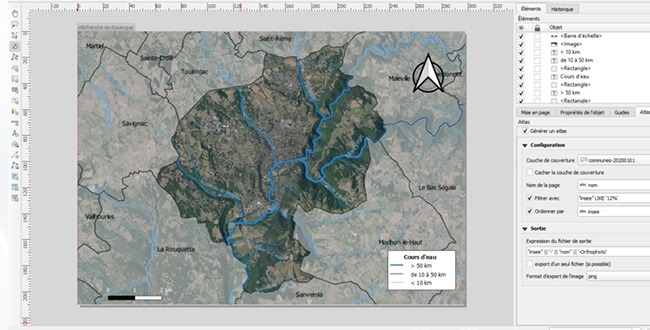
Practical supervised work with ArcGIS GIS software
Teaching and learning methods
- Lectures
- Group work on computer support
- 40h in total
Course evaluation
Geomatics projects to be submitted in small groups on the theme of forest environments.
Target skills
Be familiar with the concepts, tools, data and applications related to the use of geomatics in forestry.